BUCKHEAD MESA
I'm posting my backlog of pre-pandemic hikes.
Please observe all CDC health & safety recommendations and travel
advisories while recreating on public lands. Ideally, stay close to home and
away from congested trails until conditions are improved.
BUCKHEAD
MESA
Tonto
National Forest.
 |
| View of the Mogollon Rim from Buckhead Tank |
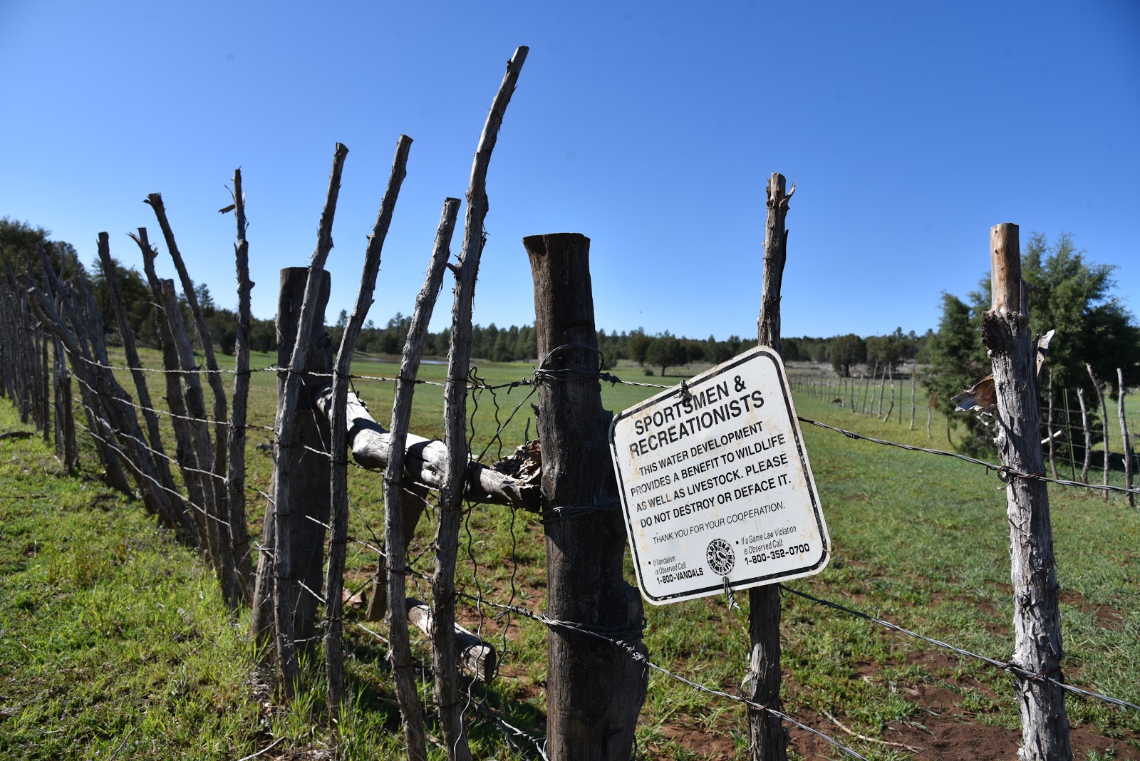 |
| Travel quietly & respectfully in this important wildlife area |
On a mesa
700 feet above the gorge of Pine Creek and Tonto Natural Bridge State Park, a bumpy
back road meanders among juniper-dotted meadows, pine-oak woodlands and open
rangeland.
 |
| Waterfowl float in Buckhead Tank |
The unmarked dirt road that traverses the flat expanse of Buckhead
Mesa 10 miles north of Payson in Tonto National Forest is open to hikers,
equestrians and motorized vehicles equipped to handle rough conditions. A hike on the short, easy course has many
points of interest and options to extend the journey on intersecting 4x4 roads
or by visiting the nearby park.
 |
| A bucolic scene on Buckhead Mesa |
Even when done as a standalone hike, the area’s
bucolic air provides a satisfying journey.
 |
| Stemless daisies bloom early spring thru summer |
 |
| A rustic corral surrounds Buckhead Tank |
 |
| Tree cover provides places to sit and observe wildlife |
 |
| Photo opps abound on Buckhead Mesa |
Epic views
begin at the trailhead with glimpses of the northernmost peaks of the Mazatzal
Wilderness to the southeast. Within a
few yards, the road splits. Take either leg as they converge at a corral
complex at the 0.1-mile point. Constructed of flaky juniper twigs laced
together with barbed wire, metal posts and rustic gates, the site is rife with
wildflowers and photo opportunities for those attuned to the details hidden
among the weeds. The road continues to
the left, tracing the rickety holding pens through sunny clearings shaded by
oaks, cypress and thickets of brambles.
A few jogs in the road later, the green swale of Buckhead Tank comes
into view. Situated in a shallow depression backed by an earthen dam, the
livestock reservoir is an important water source for wildlife and the domestic
cattle that graze in the area. For the best
chance to view elk, coyotes, deer and the myriad waterfowl that visit the water
hole, arrive early and wait quietly in the tree cover. You won’t be
disappointed. Heading out early (before 9 a.m.) will also allow you to avoid
the sporadic convoys of OHVs crawling through the rutted route.
 |
| A gate marks the final segment of the hike |
 |
| Green meadows and big views are highlights of the hike |
 |
| Fragrant juniper trees are abundant along the route |
 |
| Fleabane blooms early spring thru summer |
 |
| The trail crosses several pine-shaded drainage areas |
 |
| Extend the hike on Crackerjack Road |
 |
| A horseshoe handle embellishes a corral gate |
Beyond the
tank, the road dips and climbs through several drainage areas and a fragrant
stretch of Ponderosa pines before passing under a powerline at the 1.7-mile
point for the final uphill haul. Big views of the Mogollon Rim really shine on
this final segment. At 2 miles, the road meets a gate where you’ll pass through
(be sure to close it) and continue a short distance to the turnaround spot at
Crackerjack Road (Forest Road 209). At the unsigned junction, you may choose to
continue hiking in either direction. Head left and it’s just under a mile to
State Route 87. Or, head right and follow the narrow jeep road to the edge of
the mesa where it switchbacks down into the mineral-rich White Hills where
numerous prospects hint at defunct mining operations. From the junction, it’s a
4.5-mile one-way hike to Crackerjack Mine for those looking for a more
ambitious outing.
LENGTH:
4.2 miles roundtrip
RATING:
easy
ELEVATION:
5,085 – 5,241 feet
GETTING
THERE:
From the
State Route 260/87 junction in Payson, go 10.5 miles north on SR 87 to the turn
off for Tonto Natural Bridge State Park (Forest Road 583) on the left just past
milepost 263. Continue 0.8-mile on FR
583 and turn left onto a dirt road where there’s a cattle guard and stop sign.
Park on the dirt turnout located a few yards past the junction. Roads are paved
up to the trail turnoff.
No
facilities.
INFO:
Tonto
National Forest


Kommentare
Kommentar veröffentlichen